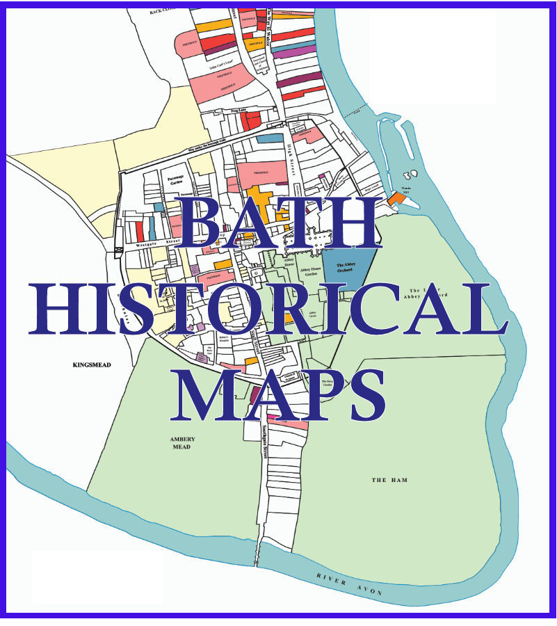
Bath Historical Maps Latest Developments
October 2024 - The official launch of the new Bath Historical Map took place.
However, this is a long term project and work continues on adding to the website:
January 2026
Georgian layers added to the Flexible Zoom Maps.
-
The published Historic Towns Trust Map includes two layers of Georgian Map, those build by 1776 (covering the period roughly starting in about 1700) and those from 1776 to 1830.
These have now been added as overlays which can be accessed through the Flexible Zoom Maps dropdown to show how the city developed after the 17th Century.
The flexible zoom maps, as the name implies, allow the user to zoom in to see individual buildings in close up detail.
-
Users may select combinations of background to the Georgian Maps, including 1641 and the 1641 Index, and the 1885 or 1951 O/S maps.
Currently Georgian buildings in Bath are only shown within the area defined by the 1641 map, however, it is hoped to extend the map to
include all areas of the City as it grew beyond the bounds of its 17th Century confines.
-
N.B. Although the HTT and Chapman maps are drawn to precise detail there may be slight misalignments with the 1885/1951 O/S maps
and some boundaries in 1641 do not precisely match those of later dates.
October 2025
1951 Ordnance Survey Map Added - 1885 or the 1951 O/S Maps can be shown as a background to 1641.
-
Mike Chapman, when drawing the digitial version of the 1641 map, used the 1885 Ordnance Survey map as a background layer.
It was felt that a more recent map would also be useful as a background layer, so the 1951 map was chosen for this purpose.
-
Users may now select 1885 or 1951, if they feel a background layer would help them understand the evolution of the city over time.
Although much of the city centre remains the same on the two maps, the 1951 clearly shows bomb sites caused by the April 1942 bombing of Bath.
It also shows significant changes with the demolition of slum housing around the Avon Street area to the south-west of the city and changes
to the Southgate area, to the south-east.
August 2025
A Map of Roman finds in the Bath added to Flexible Zoom Maps
-
On the printed map published by the Historic Towns Trust, Roman finds are in a separate box at the top-left of the main map.
This box was placed there because it was felt that it would overcomplicate the city centre if shown there.
There are no such limitations on a digital mapping on this website, so the Roman layer can be viewed mapped to its actual position.
-
Users can now view the Roman finds against the background of the 1641 map or 1885/1951.
July 2025
Geolocation on the 1641 Index Maps is now completed as is scaling down web pages for mobile devices.
-
For those not familiar with the city, buttons have been place on the 1641 Index Maps to show the user their position in Bath.
-
In order to view the website on smaller devices a button on the home page allows users to select whether they want a Reduced or Enlarged Display Size.
This automatically detects mobile phone devices but can be selected manually.
April 2025
The third stage of the development of this website is now completed and open to public access.
-
The 1641 'Chapman' Map is completed, however, ongoing checks are taking place and corrections being made to the mapping of the numbered index to deeds.
-
All entries from the Furman Index have been added including those that correspond to the 1641 map - see the Furman Index tab.
-
Work on making the maps and indexes readable on smaller screens such as phones and small tablets, continues.
-
Currently only the first map, the Flexible Zoom, works reasonably well. Work continues on the other maps and indexex...