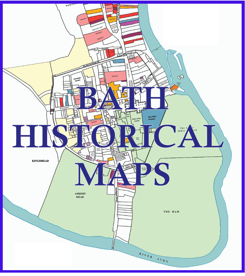
Explore the City of Bath from Roman finds, through 1641 Leasehold Deeds, the Georgian City, to 1885 and 1951 Ordnance Survey Maps
The Bath Record Office houses several thousand leasehold deeds, a collection which is acknowledged to be of national importance.
In 1641 more than 300 of these deeds were indexed giving a snapshot of the leaseholdings in the city in that year.
In 1776 more than 5000 were indexed, this forms the Furman Index.
In the 1980s a group of people began piecing the 1641 city together using these deeds. Four decades on we now have an accurately drawn map of the city in that year.
Explore the city of Bath, find out who the leaseholders were, their rents and length of lease. The 1641 maps include an optional background showing the 1885 or 1951 Ordnance Survey maps, in the future, we hope to add further maps from other periods.
In the autumn of 2024 a new Historical Map of Bath was produced in a collaboration between the History of Bath Research Group and the Historic Towns Trust.
Learn more about the printed map: The Historic Towns Trust Map